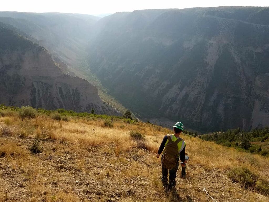
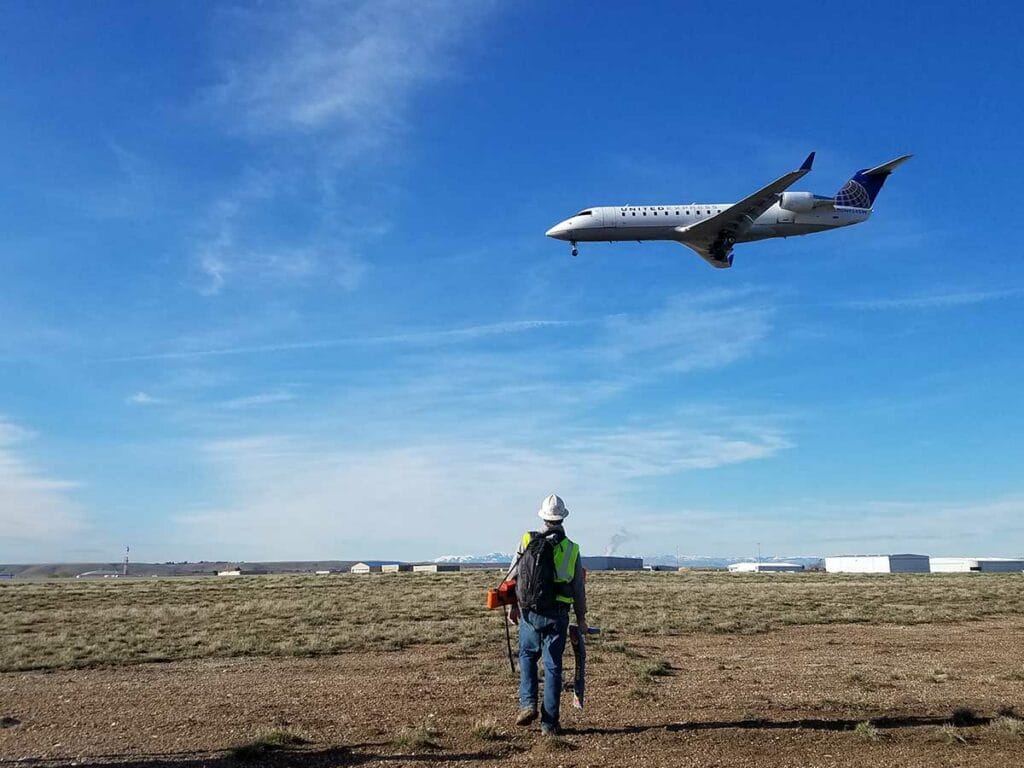
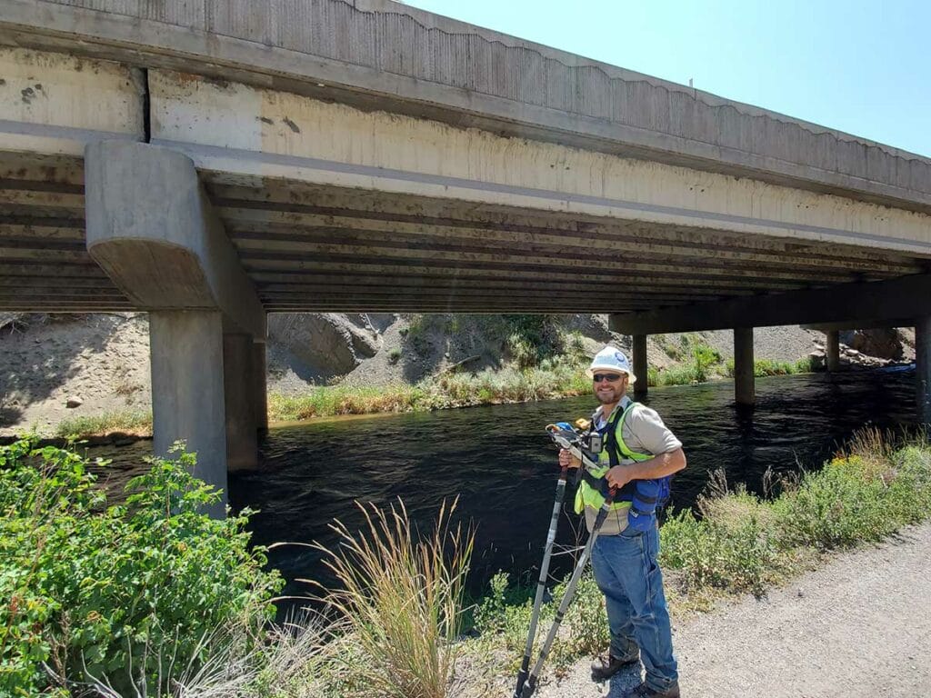
SURVEY
We perform the entire spectrum of external corrosion direct assessment survey techniques. All surveys are geo-referenced using DGPS coordinate acquisition.
SURVEY SERVICES
- Bi-monthly rectifier inspections.
- Annual cathodic protection surveys.
- Close interval survey (CIS).
- Alternating current voltage gradient (ACVG) survey.
- Direct current voltage gradient (DCVG) survey.
- Pipeline current mapper (PCM) surveys.
- Current attenuation surveys.
- Soil resistivity surveys.
- Depth of cover (DOC) surveys.
Play Video
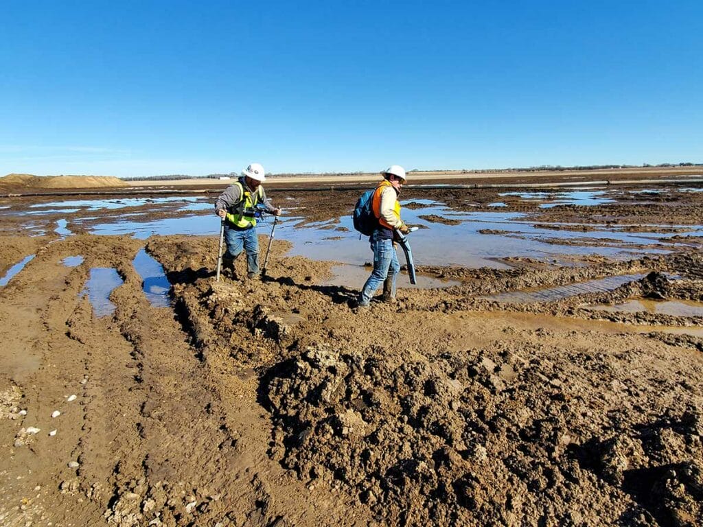
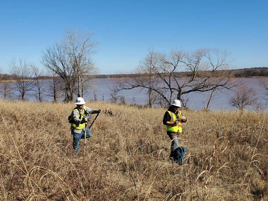
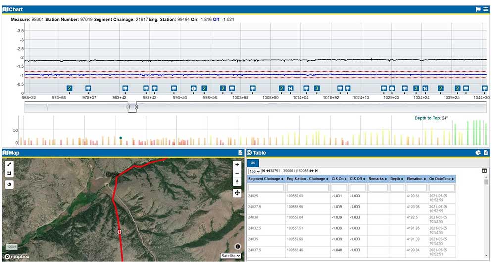
CLOSE INTERVAL SURVEY FOR PIPELINES
Studying pipe-to-soil profiles can identify areas of inadequate cathodic protection and coating damage. This testing methodology forms an integral component of our corrosion-control program. The survey technique detects localized, active corrosion resulting from a variety of causes.
DATA ANALYSIS AND REVIEW
With our cloud-based data tool, we can:
- Load data each day for quick and easy viewing by the customer.
- Create overlay graphs with different survey types, data sets or survey scenarios.
- View data with satellite map of the survey area.